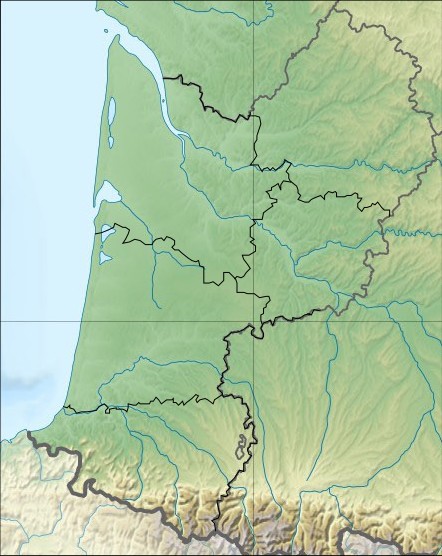
File:442x556-Carte-Région-Aquitaine-R.jpg
Jump to navigation
Jump to search
442x556-Carte-Région-Aquitaine-R.jpg (442 × 556 pixels, file size: 69 KB, MIME type: image/jpeg)
File history
Click on a date/time to view the file as it appeared at that time.
| Date/Time | Thumbnail | Dimensions | User | Comment | |
|---|---|---|---|---|---|
| current | 09:29, 30 October 2010 |  | 442 × 556 (69 KB) | Wikisoft* | {{Information |Description=Carte Region Aquitaine relief |Source=SRTM Découpage carte Image:France_relief_locatio_map.jpg Sting ~~~~ |Date=~~~~ |Author=~~~~ |Permission={{GFDL-GMT}}{{CC-BY-SA}} |other_versions=[[:fr:Modèle:Géolocalisation/Aqui |
File usage
The following 2 pages use this file:

