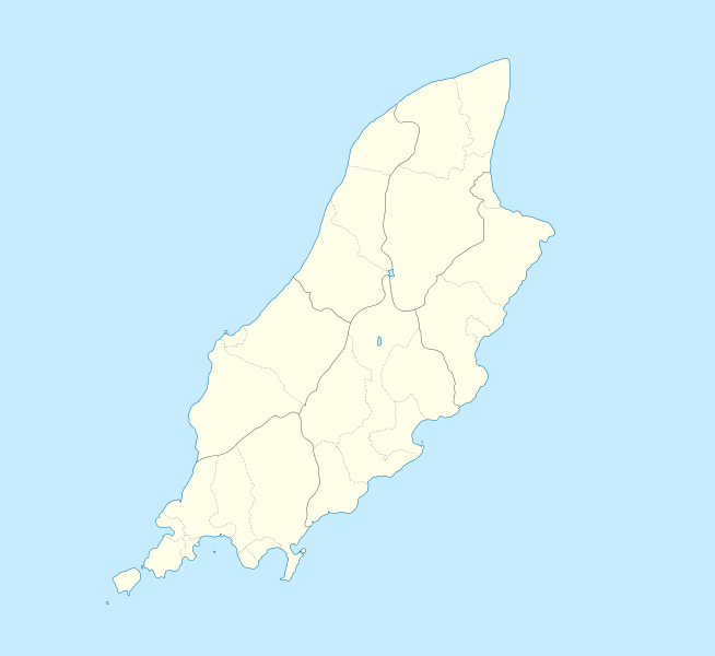
File:Isle of Man location map.svg
Jump to navigation
Jump to search


Size of this PNG preview of this SVG file: 654 × 600 pixels. Other resolutions: 262 × 240 pixels | 524 × 480 pixels | 838 × 768 pixels | 1,117 × 1,024 pixels | 1,200 × 1,100 pixels.
Original file (SVG file, nominally 1,200 × 1,100 pixels, file size: 93 KB)
File history
Click on a date/time to view the file as it appeared at that time.
| Date/Time | Thumbnail | Dimensions | User | Comment | |
|---|---|---|---|---|---|
| current | 00:00, 25 September 2009 |  | 1,200 × 1,100 (93 KB) | Entlinkt | {{Information |Description={{en|1=Location map of the Isle of Man, showing sheadings as well as local authorities (towns, villages, districts, parishes). Geographic limits of the map: * W: -4° 58' 0" * E: -4° 7' 0" * S: 54° 0' 0" * N: 54° 27' 30"}} |
File usage
The following 2 pages use this file:
