File:Kiribati relief location map.jpg
Jump to navigation
Jump to search


Size of this preview: 800 × 362 pixels. Other resolutions: 320 × 145 pixels | 640 × 289 pixels | 1,488 × 673 pixels.
Original file (1,488 × 673 pixels, file size: 647 KB, MIME type: image/jpeg)
Summary
| Description | |
| Date | |
| Source | Own work |
| Author | Uwe Dedering |
| Other versions |
|

Licensing
I, the copyright holder of this work, hereby publish it under the following license:
This file is licensed under the Creative Commons Attribution-Share Alike 3.0 Unported license.
- You are free:
- to share – to copy, distribute and transmit the work
- to remix – to adapt the work
- Under the following conditions:
- attribution – You must give appropriate credit, provide a link to the license, and indicate if changes were made. You may do so in any reasonable manner, but not in any way that suggests the licensor endorses you or your use.
- share alike – If you remix, transform, or build upon the material, you must distribute your contributions under the same or compatible license as the original.
File history
Click on a date/time to view the file as it appeared at that time.
| Date/Time | Thumbnail | Dimensions | User | Comment | |
|---|---|---|---|---|---|
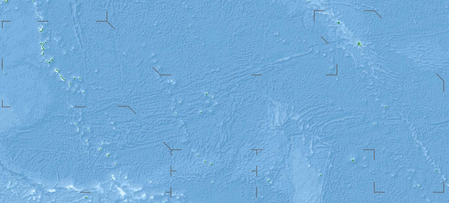
| current | 18:04, 23 April 2010 | | 1,488 × 673 (647 KB) | Uwe Dedering | {{Information |Description={{en|1=Location map of Kiribati}} Equirectangular projection. Geographic limits of the map: * N: 6° N * S: 13° S * W: 169° E * E: 149° W Made with Natural Earth. Free vector and raster map data @ n |
File usage
The following 2 pages use this file: