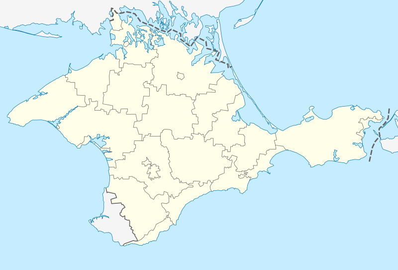
File:Outline Map of Crimea (disputed status).svg

From imedwiki
Jump to navigation Jump to search

Original file(SVG file, nominally 1,000 × 678 pixels, file size: 48 KB)

This file is from Wikimedia Commons and may be used by other projects. The description on its file description page there is shown below.

The boundaries on this map show the de facto situation. This is just one of several different views on the subject (see COM:NPOV).

Summary

Description
Deutsch: Positionskarte der umstrittenen Autonomen Republik Krim (Ukraine)/Republik Krim (Russland)
English: Location map of the disputed Autonomous Republic of Crimea (Ukraine)/Republic of Crimea/Russia
Conformal projection, standard parallels — 45°15's.W.
Template parameters (coordinates of the edges):
  • top = 46.3
  • bottom = 44.2
  • left = 32.4
  • right = 36.8
Date
Source
Author NordNordWest
Other versions

Derivative works of this file:  Relief map of Crimea.jpg

Licensing

Public domain I, the copyright holder of this work, release this work into the public domain. This applies worldwide.
In some countries this may not be legally possible; if so:
I grant anyone the right to use this work for any purpose, without any conditions, unless such conditions are required by law.

Captions

Add a one-line explanation of what this file represents

22 March 2014

image/svg+xml

File history

Click on a date/time to view the file as it appeared at that time.

Date/TimeThumbnailDimensionsUserComment
current18:01, 22 March 2014Thumbnail for version as of 18:01, 22 March 20141,000 × 678 (48 KB)NordNordWestc

Metadata