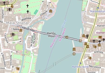
File:Prague - Charles Bridge - OpenStreetMap.png
Jump to navigation
Jump to search
Prague_-_Charles_Bridge_-_OpenStreetMap.png (438 × 306 pixels, file size: 134 KB, MIME type: image/png)
File history
Click on a date/time to view the file as it appeared at that time.
| Date/Time | Thumbnail | Dimensions | User | Comment | |
|---|---|---|---|---|---|
| current | 22:36, 15 September 2016 |  | 438 × 306 (134 KB) | Tagishsimon | {{OpenStreetMap | name = Prague_Charles_Bridge | location = Prague_Charles_Bridge | description = Map of the Charles Bridge, Prague. | top = 50.0889 | bottom = 50.0840 | left = 14.4051 | right =... |
File usage
The following 2 pages use this file:

