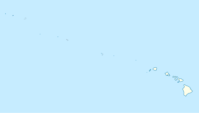
File:USA Hawaii island chain location map.svg
Jump to navigation
Jump to search


Size of this PNG preview of this SVG file: 800 × 454 pixels. Other resolutions: 320 × 181 pixels | 640 × 363 pixels | 1,024 × 581 pixels | 1,280 × 726 pixels | 1,476 × 837 pixels.
Original file (SVG file, nominally 1,476 × 837 pixels, file size: 33 KB)
File history
Click on a date/time to view the file as it appeared at that time.
| Date/Time | Thumbnail | Dimensions | User | Comment | |
|---|---|---|---|---|---|
| current | 18:24, 14 October 2012 |  | 1,476 × 837 (33 KB) | NordNordWest | Reverted to version as of 18:31, 13 November 2009; grey lines are reefs, not islands |
File usage
The following 2 pages use this file:


